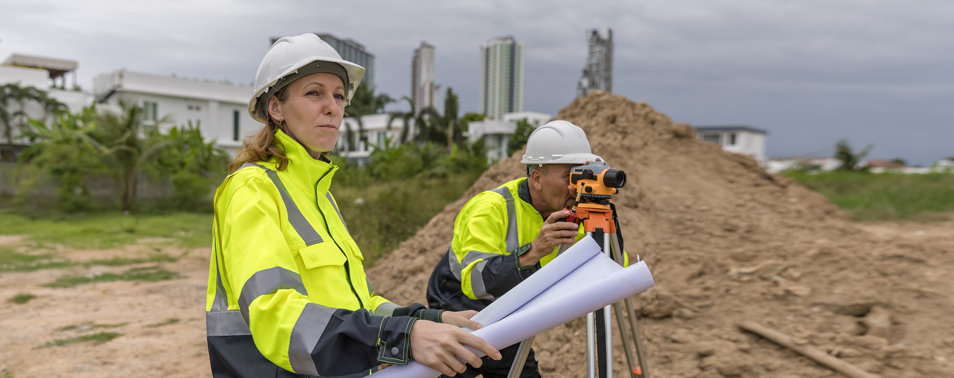
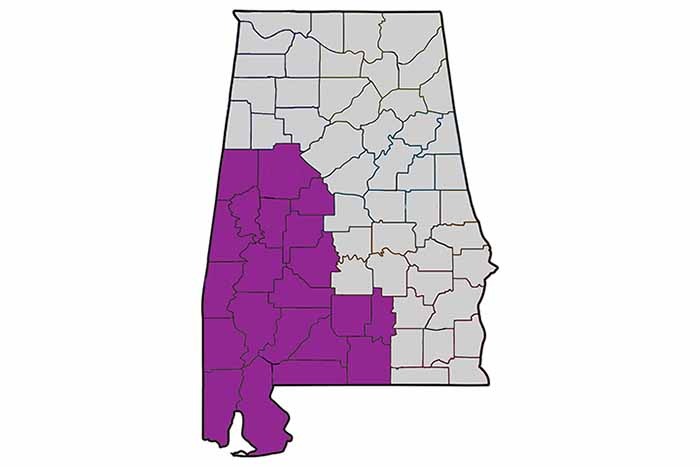
Graham Surveying prides ourselves on providing accurate and reliable land surveying services throughout Southern Alabama. With years of experience in the industry, we use the latest technology and techniques to deliver precise results for a wide range of projects, from residential property surveys to large-scale commercial developments.
We understand the importance of accuracy and attention to detail in land surveying, and we are committed to helping our clients make informed decisions based on dependable data. Whether you need boundary surveys, topographic mapping, or construction staking, Graham Surveying is dedicated to ensuring your project’s success from start to finish.

Our Service
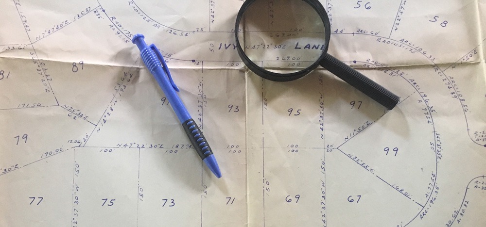
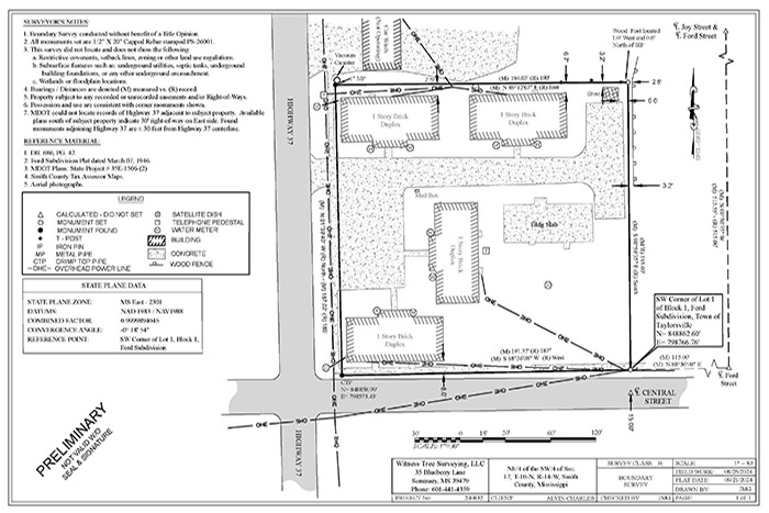
Graham Surveying measure and map out the dimensions of land, including its boundaries, contours, and features. Our primary role is to provide accurate data that defines the location of property lines, the topography of a land area, and any existing structures.
This information is critical for your property transactions, construction projects, land development, and legal disputes.
We use a variety of tools and technologies, such as GPS, total stations, drones, and computer-aided design (CAD) software, to gather and analyze data with precision. Our work is crucial in ensuring that land use and development are conducted within legal and regulatory boundaries.
Do you have any questions?
You can call or text us or use the form below! We look forward to hearing from you!
Call/Text: 601-441-4359 or 251-222-5319

Graham Surveying News & Information!
What does a Land Surveyor do?